Green open space
A landscaped-led scheme, prioritising public open space
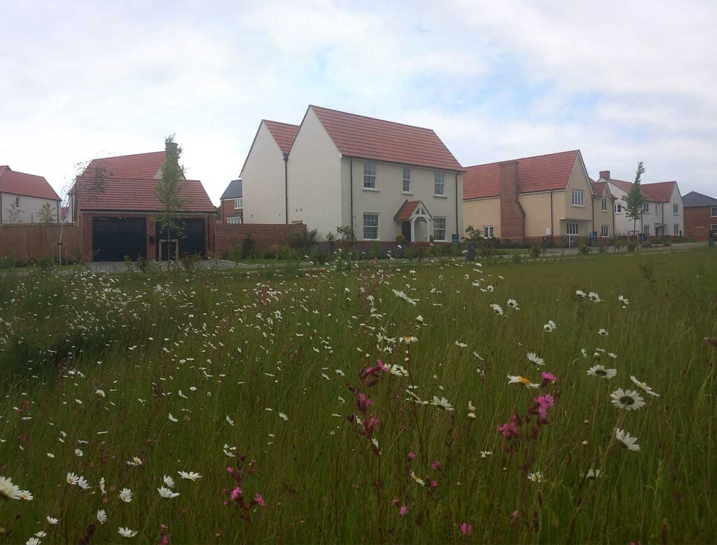
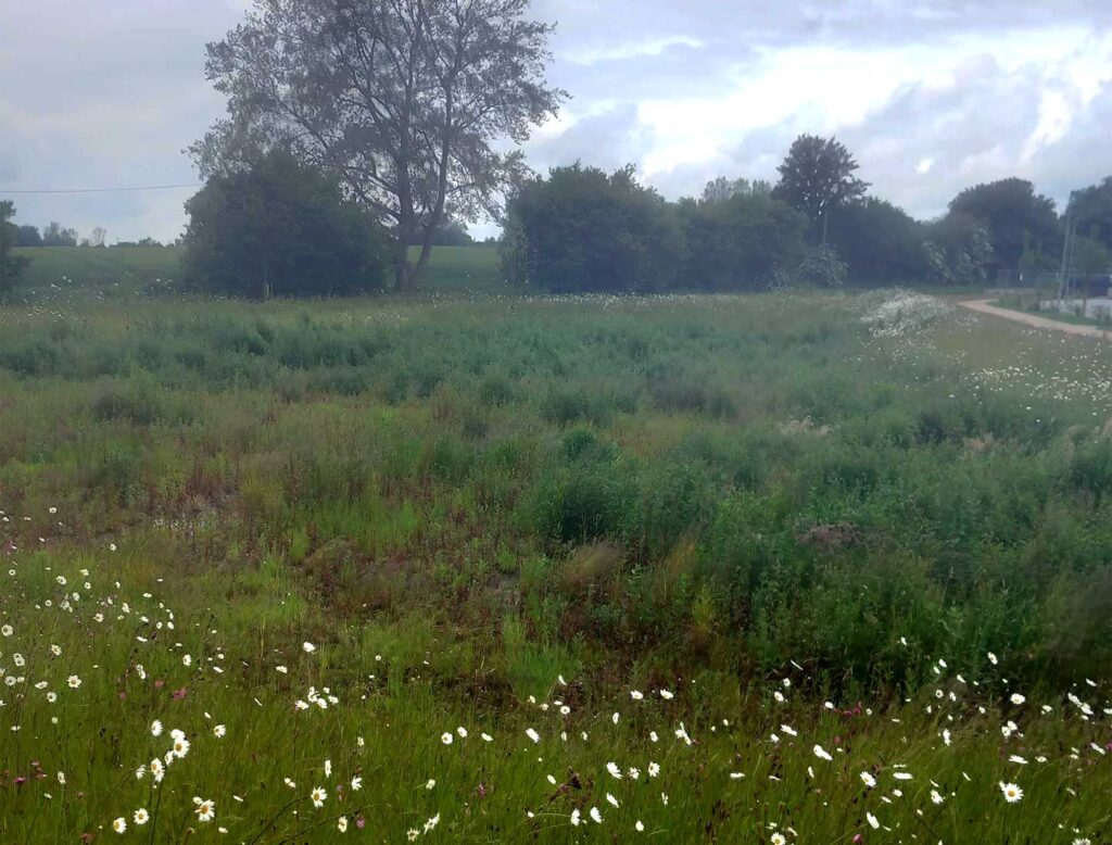
Alongside new homes, the development will open up just over 2 hectares worth of public open space, which is currently inaccessible to the community, incorporating both formal and informal areas for local people to enjoy.
The landscape design will provide circular walking routes to create spaces for nature and recreation alongside informal play areas, fitness trails and a community picnic space.
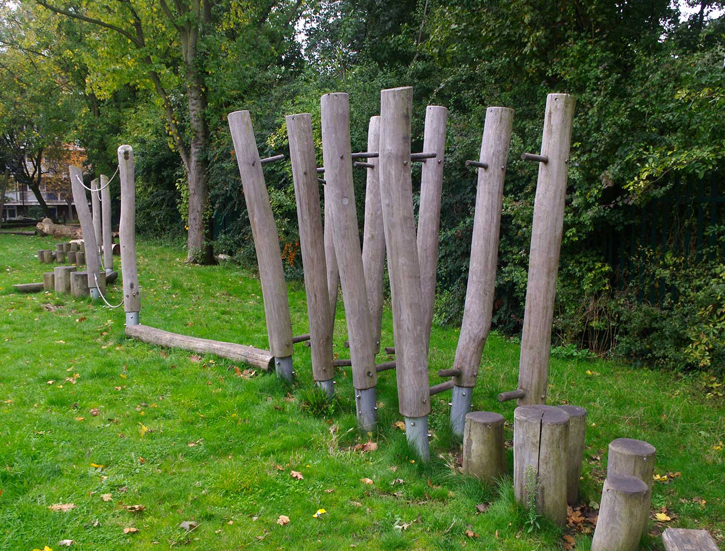
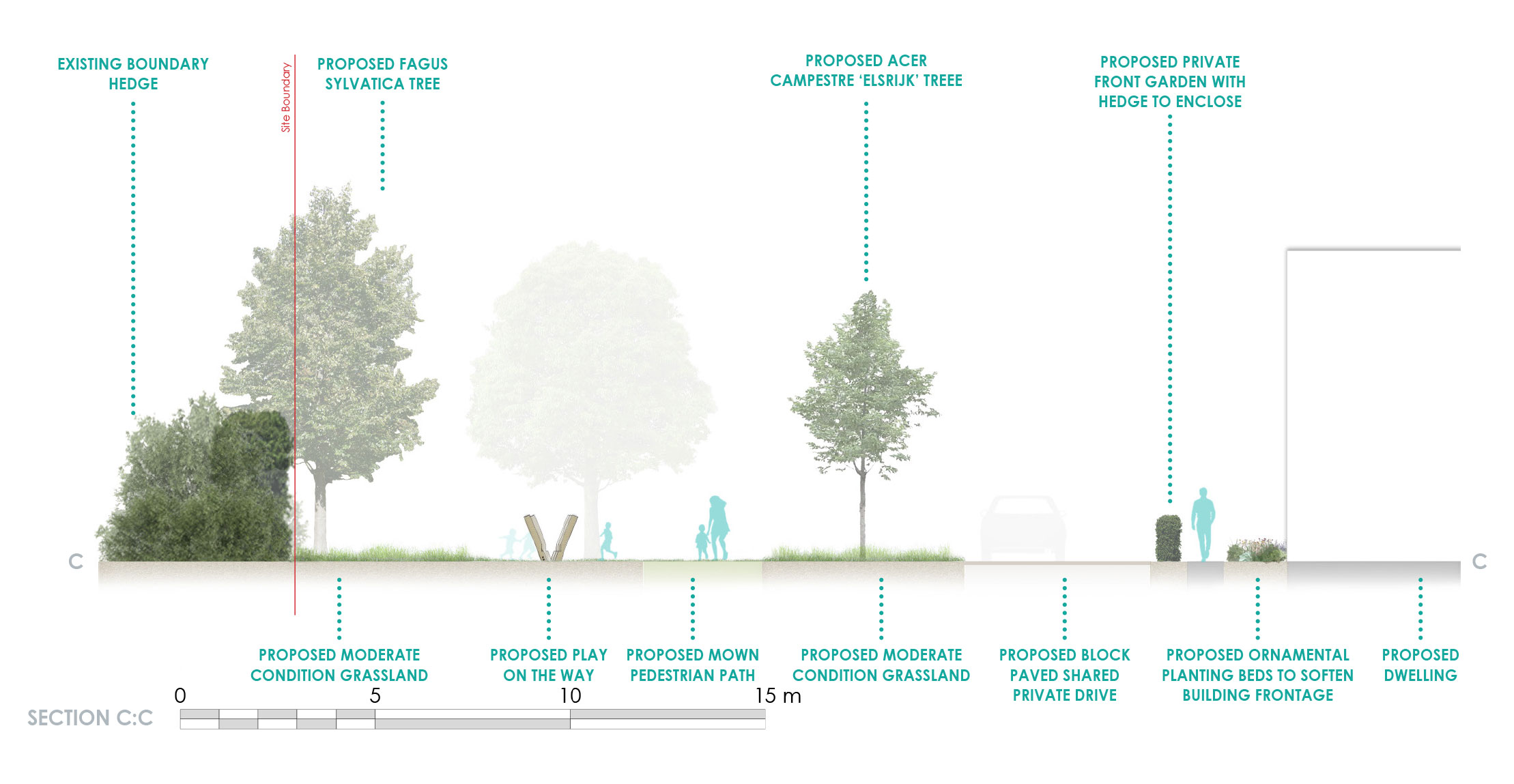
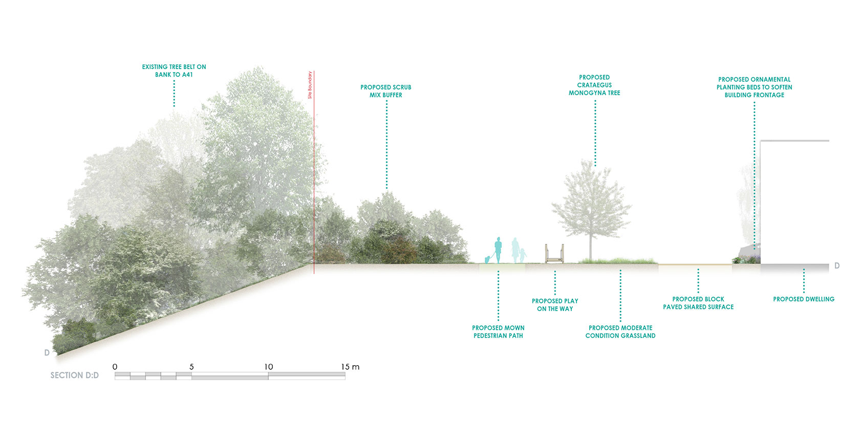
Naturalistic and low-key play features will be provided alongside the circular footpath routes for ‘play-on-the-way’ opportunities. A larger equipped play area will be provided in the northeast corner of the site, next to the school.
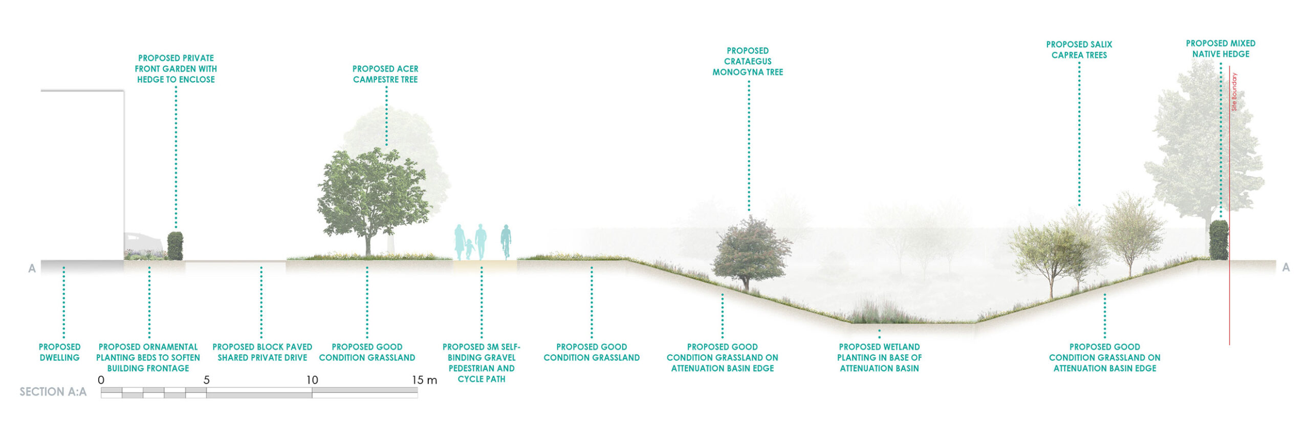
The proposed landscape design features will contribute to a biodiversity of at least 10% ensuring the natural environment is left in a better state than it was before the proposed development.
 Application boundary
 Existing hedge
 Existing trees
 Proposed native feature trees
 Proposed small/medium size native and native character trees
 Proposed fruit trees
 Proposed small size non-native trees
 Proposed street trees within residential parcels
 Proposed ornamental trees within residential parcels
 Proposed mixed native hedge
 Mown grass areas, informal pedestrian path and play areas
 Western boundary scrub mix
 Improved grassland (good condition)
 Improved grassland (moderate condition)
 Attenuation basin banked grassland edge
 Attenuation basin, mix of wetland wildflower and marginal planting
 3m wide path self-binding gravel pedestrian and cycle path
 Eastern access. Shared self-binding gravel, vehicle, pedestrian and cycle access
 Indicative locations and elements of play features
The development
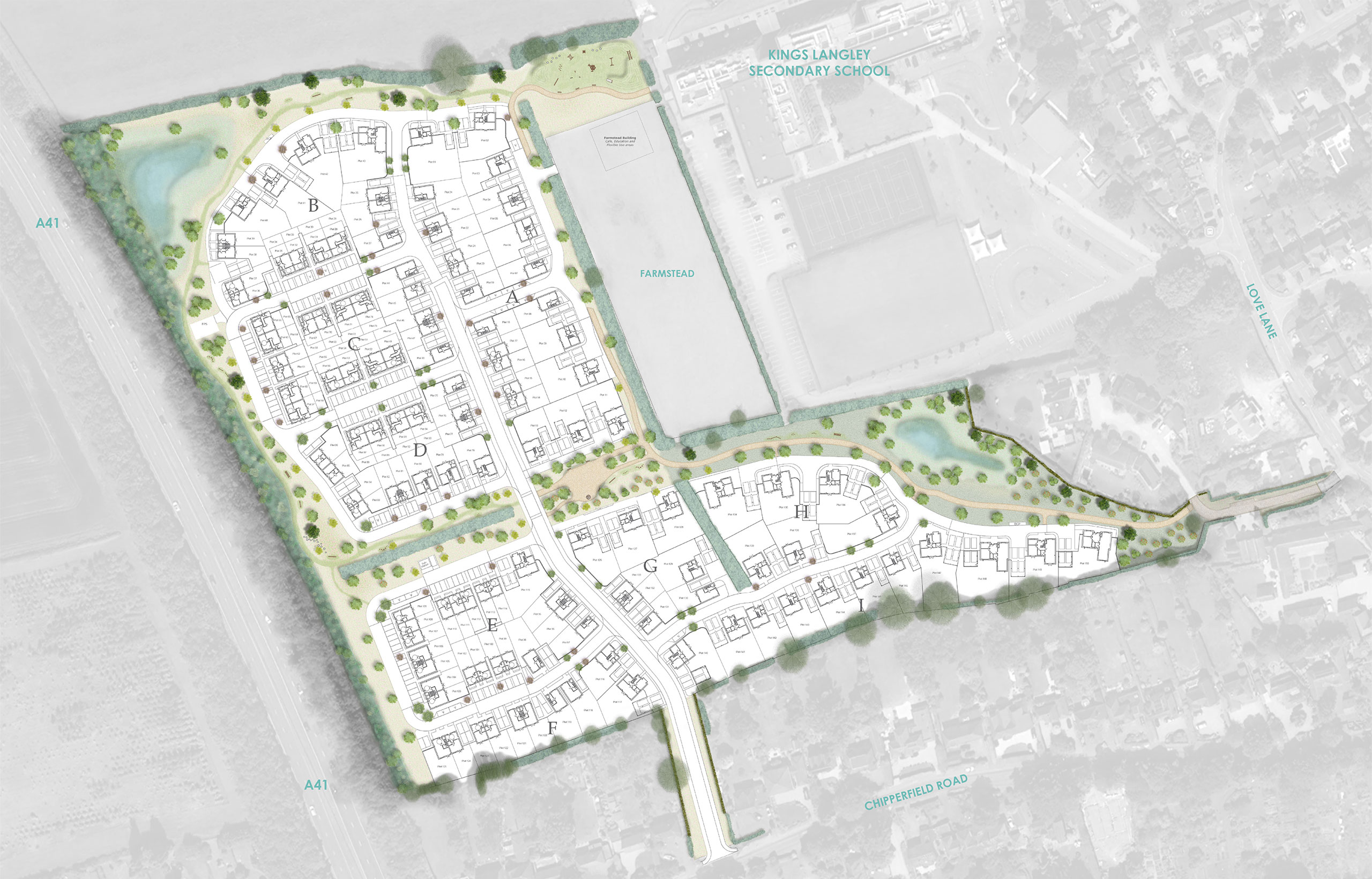
Landscape character areas
The development is organised into three character areas, designed to create distinct spaces while integrating with the surrounding landscape.
Farmstead Gardens
To the east features green spaces, large trees, informal orchards, a SuDS attenuation basin and the Farmstead education and community building.
Pastoral Meadows
Along the northern boundary maintains openness to the Green Belt, with wildflower meadows, walking routes, play areas, and a SuDS feature.
Woodland Edge
To the west includes native shrub planting, wildflower grassland, informal paths, play areas, and additional tree planting.
Commitment to sustainability
Supporting a greener future
We have carefully considered how to integrate both council and Hill’s sustainability objectives into this development to ensure a legacy for the future. We will:
- Utilise a ‘Fabric First’ approach to new homes with U-values (a measure of how well walls, roofs, and windows retain heat) that exceed Building Regulations targets and will minimise carbon emissions.
- The development will be entirely gas-free and will incorporate renewable energy such as Air Source Heat Pumps.
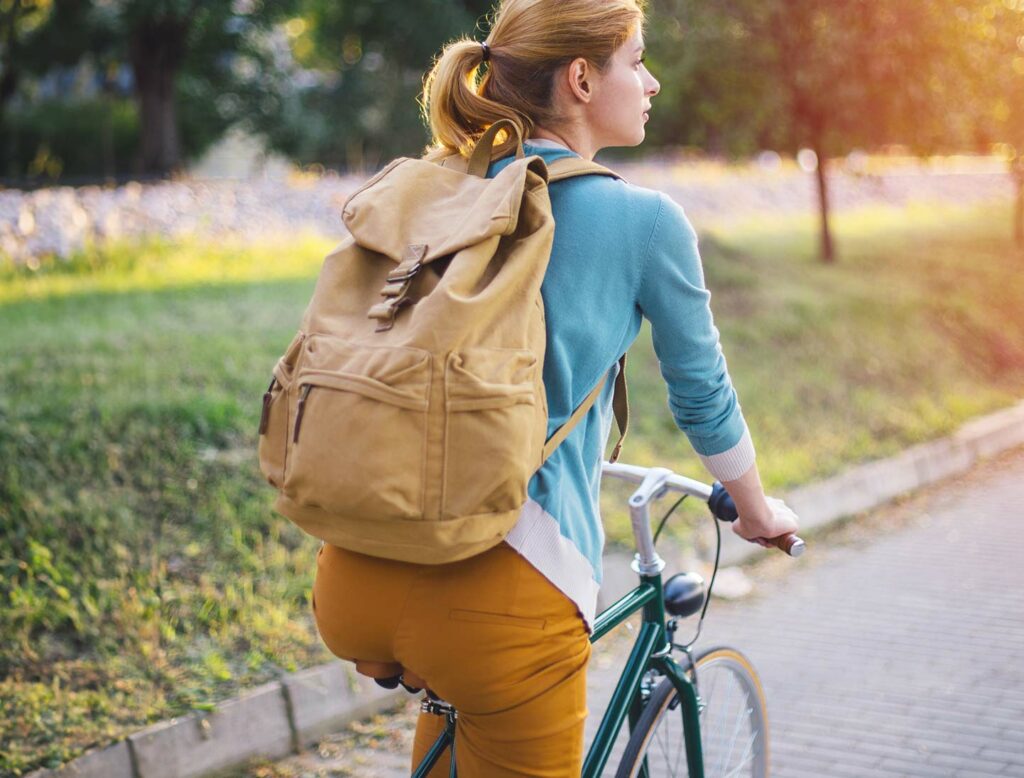
- Promote sustainable travel and transport through enabling the use of public transport, with access to the existing local walking and cycle route network for enhanced sustainable transport connectivity, supported by the approved Travel Plan.
- All homes will have access to one Electric Vehicle (EV) charging point each and there will be provision for cycle storage to encourage the use of alternative modes of transport to the car.
Flood mitigation
Sustainably designed surface water management to help prevent flooding
The proposals have been designed to effectively manage surface water. The Flood Risk Assessment places the site in Flood Zone 1, showing there is a low probability of flooding.
The proposed surface water drainage strategy will use sustainable urban drainage systems (SuDS) to capture, control and release water generated on-site, mimicking the current natural drainage with infiltration back into the ground in accordance with the drainage hierarchy.
The system will be designed to manage severe weather that happens very rarely, such as a 1-in-100-year storm event and to account for climate change and potential urban creep on the development.
The proposed SuDS features will be designed to also promote biodiversity and provide amenity benefits through an attractively planted detention basin, which will include new rich planted habitats.